
01 / THE CHALLENGE
A demo is easy. A trusted workflow that improves decisions is harder.
OURANIA / 01 APPLIED AI
Find where AI creates real value, build it into the work, and equip the people responsible.
01 / THE CHALLENGE
A demo is easy. A trusted workflow that improves decisions is harder.
WHAT CHANGES
A useful implementation, clear controls, and a team ready to own it.
02 / CAPABILITIES
03 / CASE STUDY / AI IMAGE CLASSIFICATION
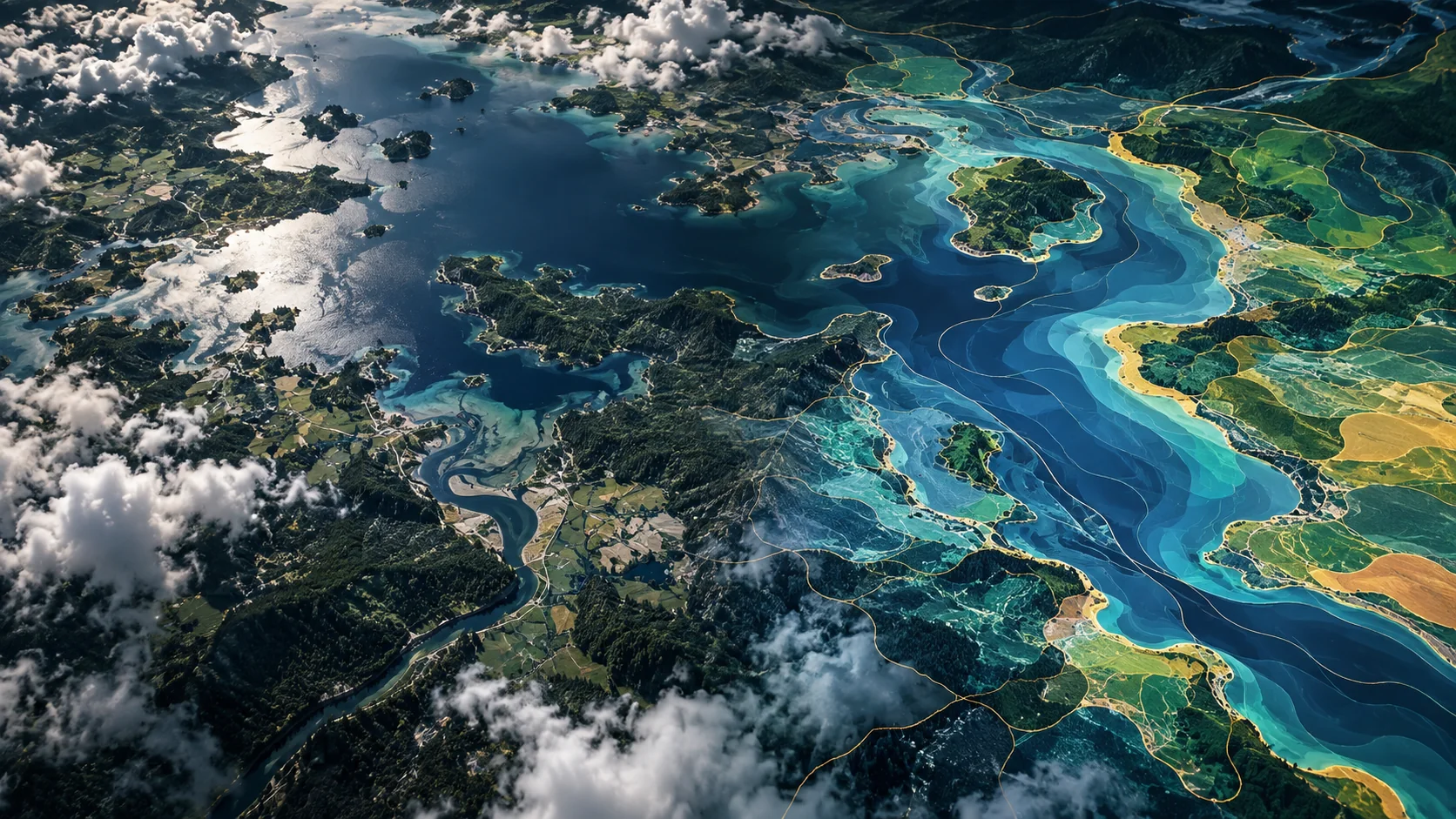
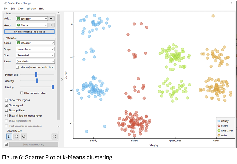
Roughly 6,000 images were embedded, clustered, and tested across multiple models to classify four land-cover types. Performance, security, and deployment were treated as one system.
DATASETAbout 6,000 images
TASKAI image classification
OUTPUTFour land-cover classes
The first image is a conceptual visualization. The chart shows analysis from the study.
04 / NEXT MOVE
Ourania connects what the outcome requires.
Contact Ourania